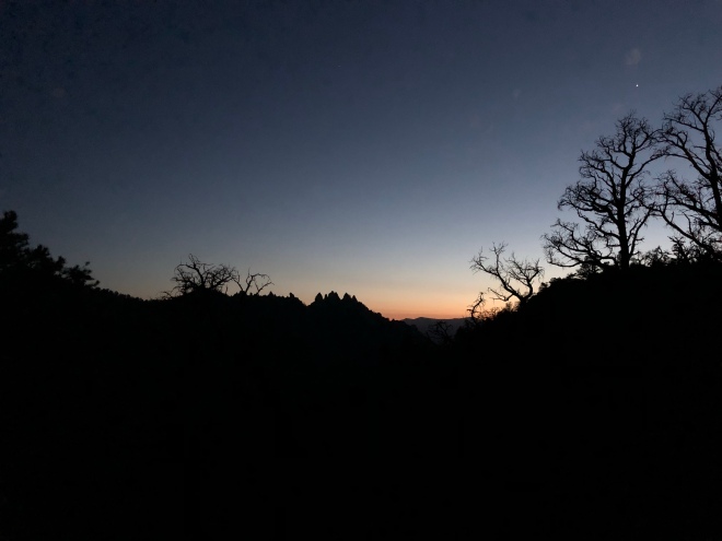
The past 100-ish miles have been a blur. Like I mentioned before, not only am I going to stop counting daily mileage, I am also going to stop doing daily entries. It is kind if an interesting exercise to just look back on the last “section” and see how it all comes back out on this blog every week or so. I’m crafting this word vomit on a log watching the sun set over Wrightwood, CA (which I’ll be checking out tomorrow). I just had my b-day pop-tart. 34 now. Peace out 33.

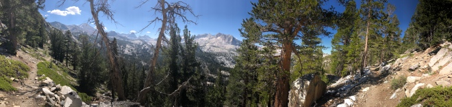
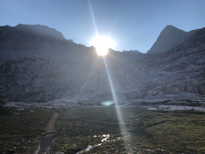
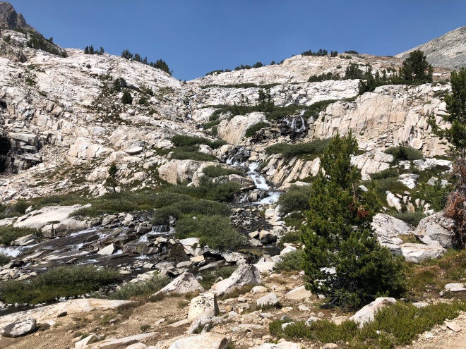
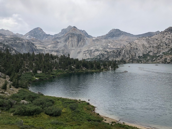
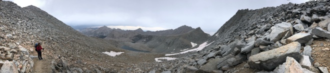
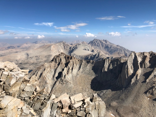
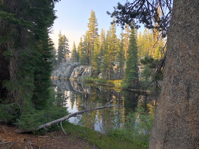
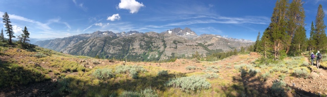
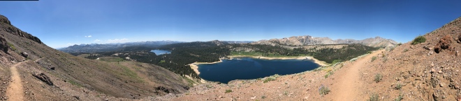
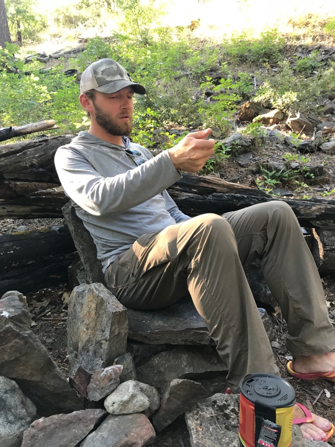
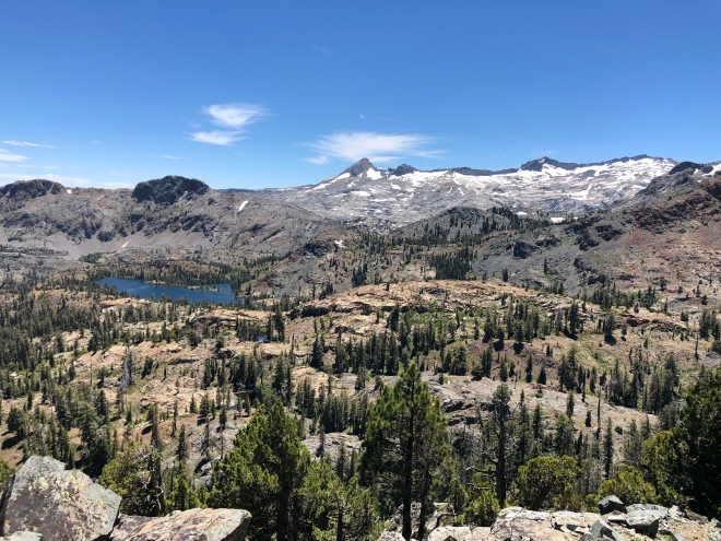
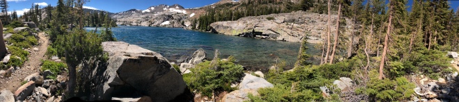
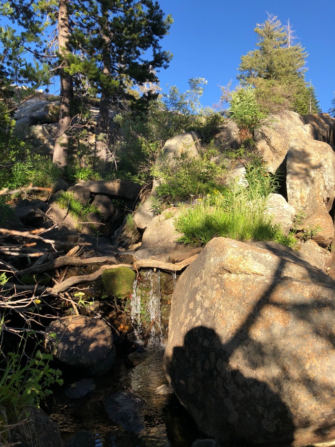
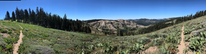
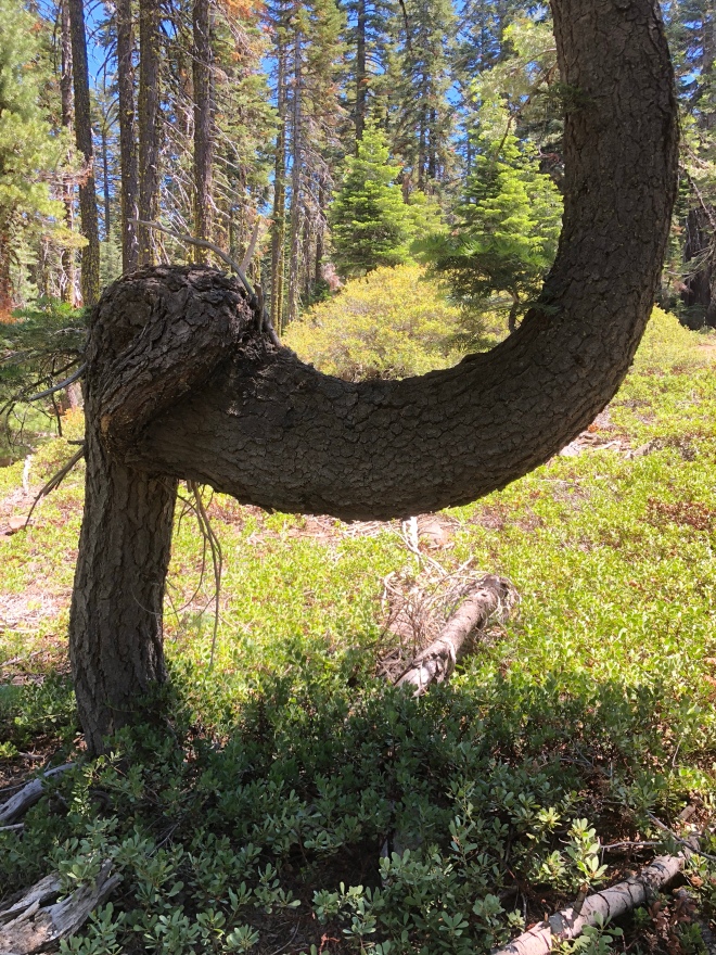
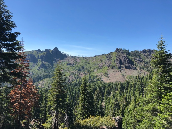
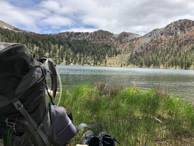
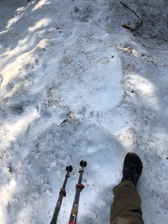
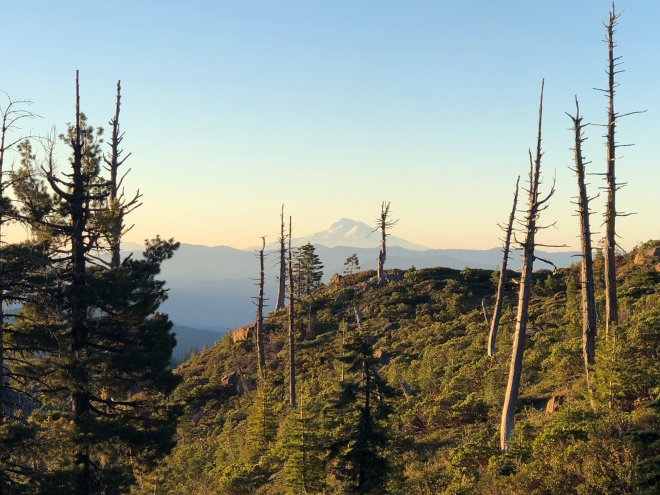
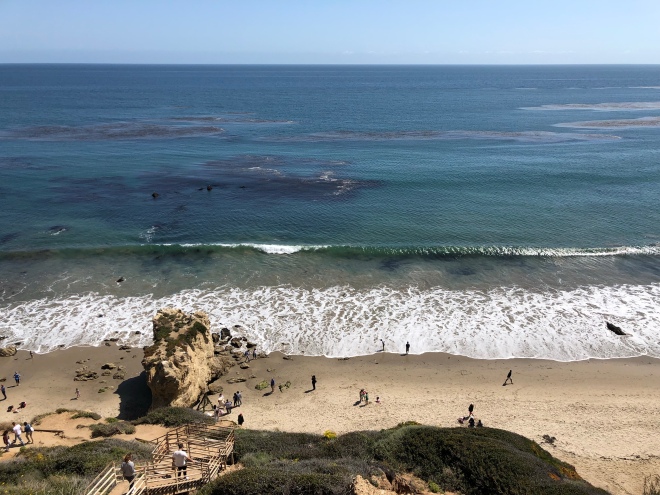
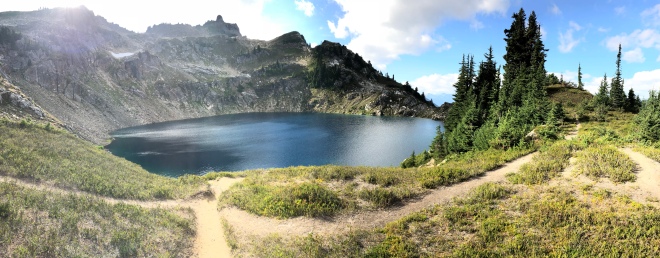
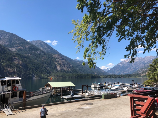
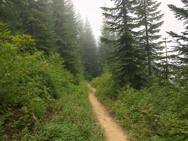
(My current view. Pretty awesome.)
Two themes bubble to the surface over the last 5-days…Lost and Selfless.
Lost example #1:
I’m cruising down the trail and in a hairpin turn, I hit a campsite (super common). As usual, the main PCT disperses into 13 other paths on the campground site due to other traffic/paths. Then, the sweetest old lady (who I am sure makes amazing cookies) rolls up behind me. “Honey, do you know where the trail goes from here?” … in the most unintentionally (but inevitable) smartass tone, I say, “Canada.”
Thing is, we were both lost. Sort of…
We knew how to go back to Mexico. We just didn’t know how to get to Canada. The more important one of the two in our situation.
I like diagrams. Graphs. You know, data. So I turn on the GPS feature on my phone and like witchcraft, there is the PCT about 50 yards east, up a steep hill. Done.
Then there is Grandma Cookie muttering how she feels like the trail is “this way”… I get it man. I also let intuition guide me in many situations. But directionally, when I have a GPS? Nah. Data wins.
Once I find the trail I call out to her to let her know I found it. I never heard back from her. (Don’t worry, I just saw her last night, 4 days later).
(Yeah, Gerard Butler was pretty good in it.)
Lost example #2:
Hanging out at a picnic shelter named Splinter’s Cabin. It’s not a cabin, nor is Master Splinter there. Lame.
This shelter is beside a parking lot for day hikers. It was the weekend and it was packed. Also, someone thought it’d be nice if they shared their Bruno Mars (yeah, I know pop music…lie) with everyone around. Doors open. Blasting. I know, Poppaw Tim yelling at the kids again.
I’m hanging out in the shelter, by myself because I look homeless, then all of a sudden two crotch rockets come rollin’ in Fast n’ Furious style. Yeah. They were cool for sure.
Then one ninja hops off, and walks towards me. I’m thinking “Ninjas don’t hang with the homeless?”… “Bro, where are we?!”… I’m thinking to myself, here I am trying to not keep up with miles and stuff anymore and boom, pop quiz from a ninja.
I told him Splinter’s Cabin, cracked a Ninja Turtle’s joke, and the ninja wasn’t amazed. Then it got real. I pulled out the handy GPS. Asked him where he was going and coupled that with where we were. Directions emerge. He asked where I was heading to. Usual deadpan, “Canada.”… followed by, “No bro, really?!”… He then asks some basics. Time. Distance. Food. Pooping. All the fun stuff. He then rushed off to talk to his co-ninja about how “this guy” is crazy and living in the woods for “5 whole months”… doesn’t take much to impress a ninja.
Lost example #3:
It’s 4/20 weekend, pot is legal recreationally here, and there is a hot springs with “natural healing powers”…oh, and I’m a grandpa. Setting the scene.
As Deep Creek Hot Springs comes into view, I see people twirling sticks, hoola hoops, and 80% aren’t naked. Fermi estimation of course.
I do like experiences/adventures. All my friends know that. But I also really didn’t want to “sleep” at the 100+ people gathering.
Side note: those healing hot springs “contain a rare and sometimes fatal disease called primary amoebic meningoencephalitis. The disease is apparently contained in contaminated soil and transmitted to the Hot Springs pools” per the PCT water report. I know I know. I’m just letting the fear control me man. Ha!
Lost.
Oh yeah!
So I camped a few miles past Bonnaroo 4/20 and had a phenomenal night sleep. Woke up to a girl doing the walk of shame.
She was in her mid twenties, runny eye shadow, the start of dreadlocks, those trying to be stylish 80’s clothes, and… wait for it… no water. Zip. Zero. Zilch.
Hoping for an amazing story, I asked her how things were going. She was mum. Must have been the shame. She did divulge an interesting tidbit though. “I’m heading to Splinter’s Cabin.”…
You see, because of example #2, I know where this ratless, cabinless, “cabin” is. Unfortunately for Sparrow or Rainbow or whatever her “name” is, it’s 12 miles the opposite direction she is walking. I offered her water, no dice.

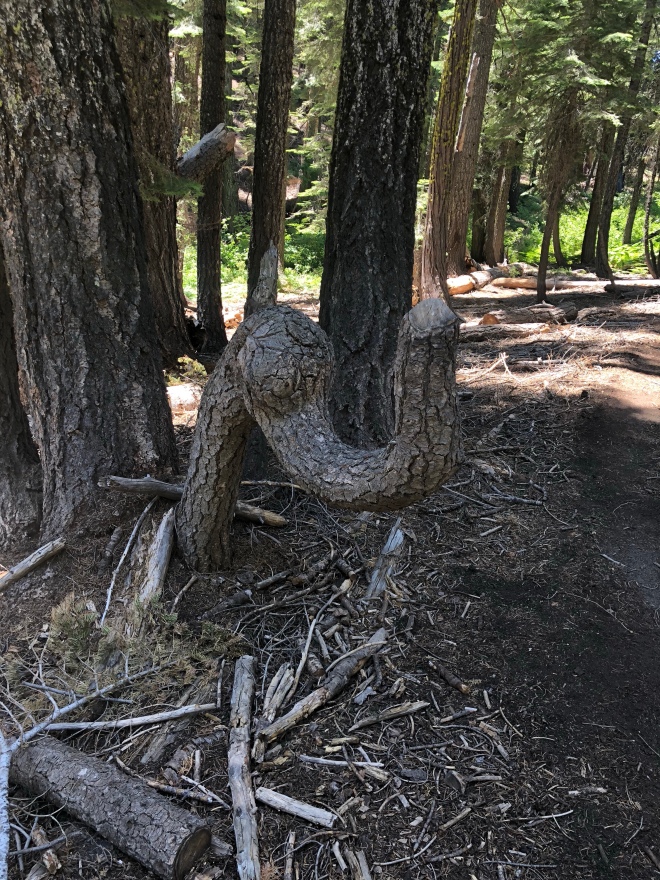
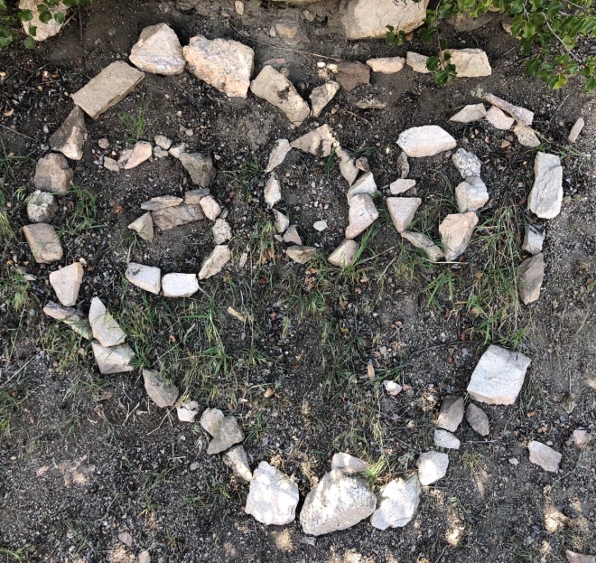
(Idiots+Nature=Misplaced Bad Art Museum)
Speaking of water. Selflessness. The other theme of my 300’s out here.
I joke, and crack on a lot of people, myself especially. May as well. But on a serious note, I absolutely adore the total selflessness I encounter when thru-hiking.
On the AT, people picking me up on the road when it was hot/cold, putting me up in their home, insisting on feeding me and letting me do laundry. Total strangers. Even when offering money. Nope! No part of it. They were just happy to help. Awesome.
I experienced this 30-50 times over the last 2,800 miles. There is a trend. Usually these are people with a personal connection to the AT or PCT. Makes sense. They usually say something like, “Yeah, my cousin hiked this section a few years ago…”
So the selfless people I encountered this week involved good ole fashion H2O.
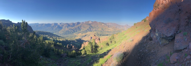
I had a section today that was pretty rough. I started out on the desert floor at 3,000ft and 15 miles later, ended at 8,500ft. All in all, this would have been a 27 mile stretch with no water. I’ve done similar stretches before. 20-25 miles. But not mostly uphill. Gross.
So, last night, hanging out in my tent. Cause where else can I hang out? Then I hear some car drive up on the gravel road I am near, stop, door open, door shut. I’m really hoping it was one of the ninja’s cousins.
“Anyone awake down there?”
Man, I should have said “No.”
Cause you know, irony.
I was nice and told her I was awake. She was even more nice. Elizabeth was her name.
I was sleeping next to any empty water cache. She was there to refill it. Just as she has for years ever since her friend had a heat stroke hiking this section. I helped load the cache, gave her a hug and off she went.
30 mins later.
Another vehicle rolls up.
Where is the solitude man?
“Hey, uh, can I get some help with all the 5 gallon jugs?”
A guy brought another eight 5 gallon jugs which we divided into 1 gallon jugs for easy refilling.
This was cool and all, but I didn’t depend on this cache. I’m sure it will help some other hikers out. Which is great.
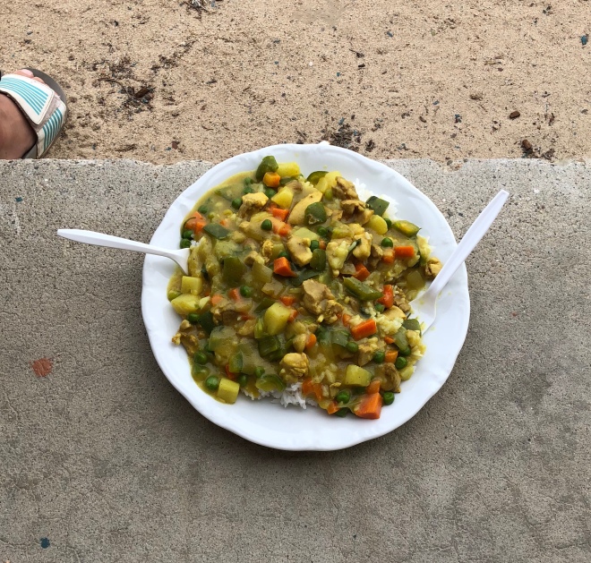
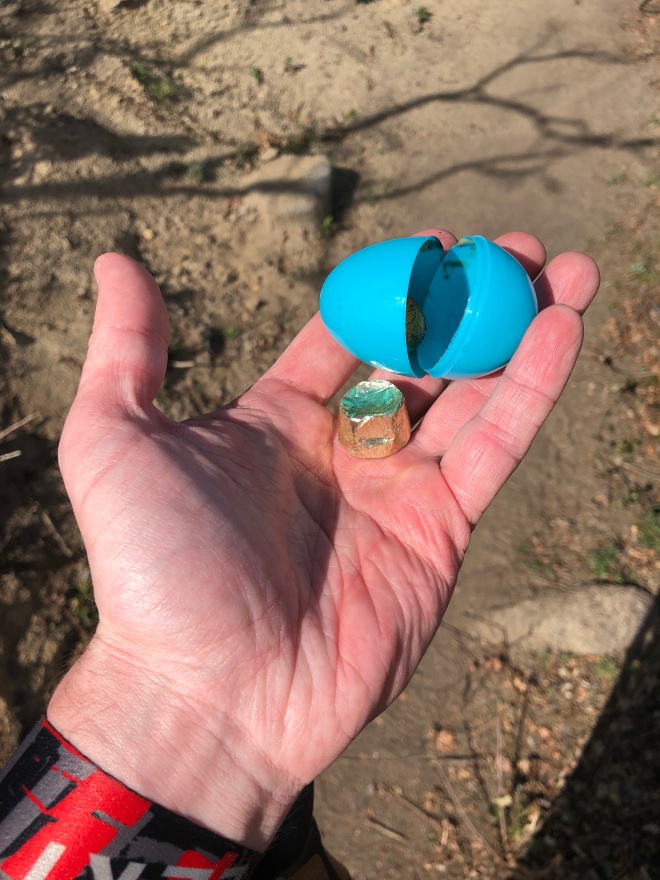
My best bday present was on top of the mountain though. At a spring that was frozen solid, someone left five 1 gallon jugs of water. I still had enough, but it was nice to gulp a quick 20oz and not need to carry it.

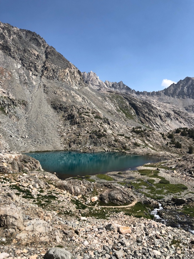
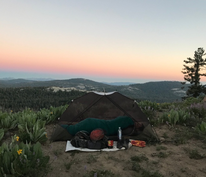
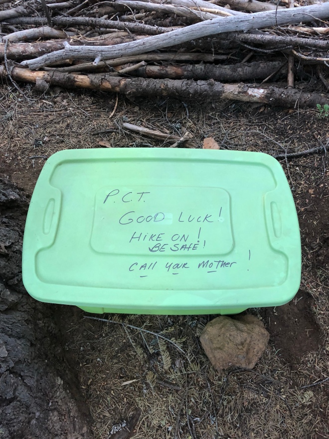
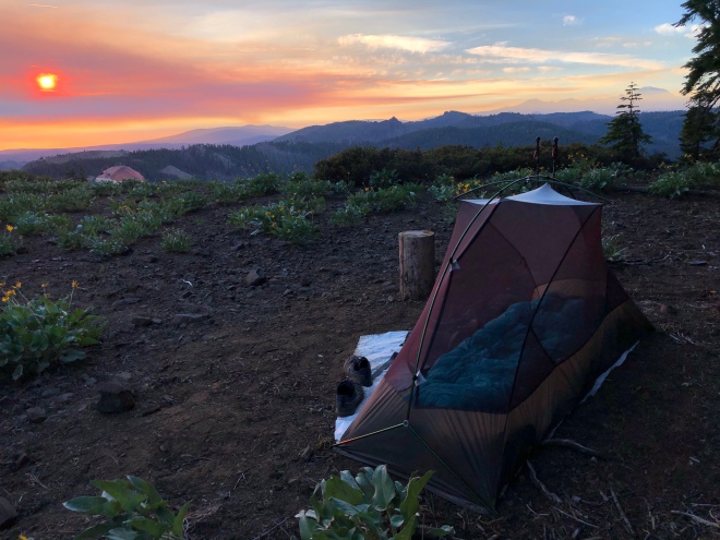
(What up water? How you doin’?)
Ready for more selfness? Here it comes…
I roll into town early this morning grab some breakfast and get a tip that a retired couple in town gives hikers a bed, shower, laundry, etc. I was going to call them from a list of trail angels I saw posted given they had the same last name as one of my closest friends (Jennings).
Sure enough, she welcomed me fully. Her husband is volunteering at the hospital today and she is making sure all is in order for the hikers they have hosted for over 30 years!
It gets crazier…
I just finished heading to post office, all squeaky clean (showers), made some calls, had some great conversations with some coworkers who I kind of miss (sshhh!), and all of a sudden a car whips in front of me as I am walking back to the trail angles house. I’m thinking, “Jerk.”… I couldn’t have been more wrong.
It was Elizabeth. From the water cache restock a few nights ago.
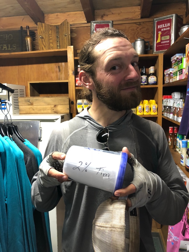
She kept yelling out the window, “2%! 2%!”…
I thought she was just being friendly. However, she goes, “Here, happy birthday! You turned 34 right?” She then proceeds to give me a ride to the trail angels home and I profusely thank her for everything. Hugs and all.
She remembered me in passing the night of the water cache saying it was my last day as 33.
She rolled the dice. Bought a card and presents. Drove around town, and passed me on the street. Super kind of her. Selfless.


(Wish this happened before I got groceries haha. Still amazing!)
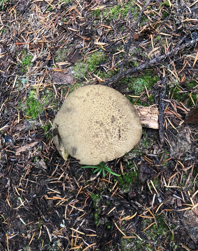
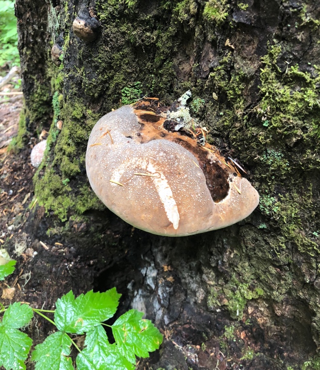
Time for other random pics…
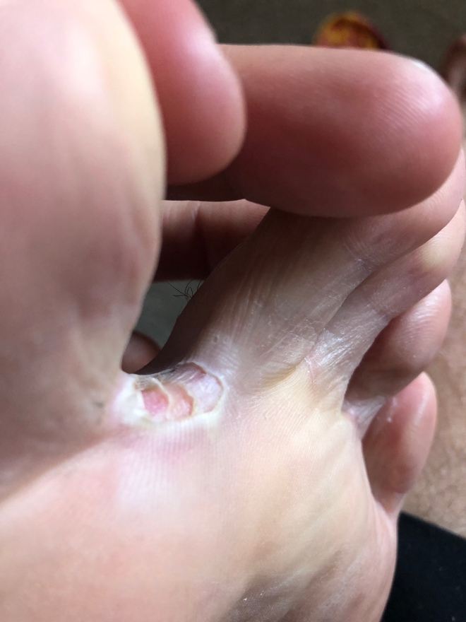
(Inception style. A blister within a blister within a blister.)

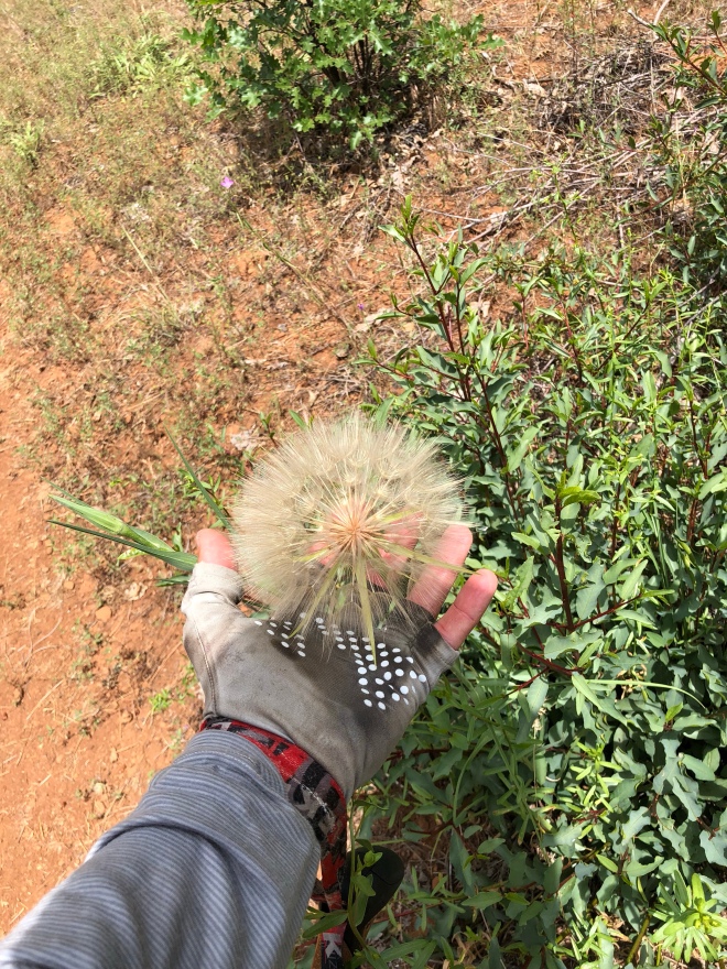
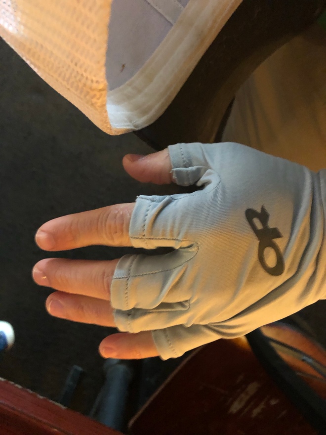
(Feet were rough… but hands are good!)
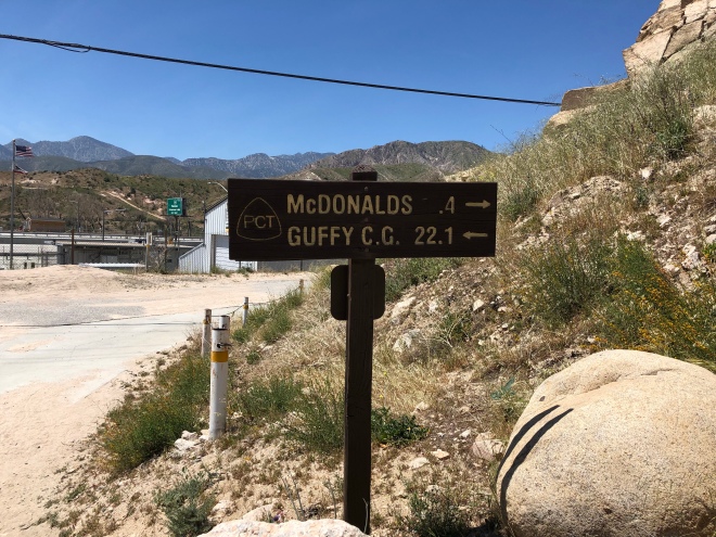
(No way thats THE McDonalds I’m thinking of…)
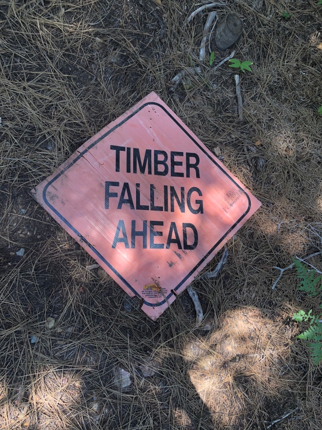
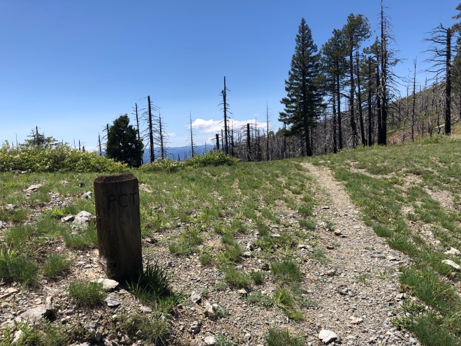
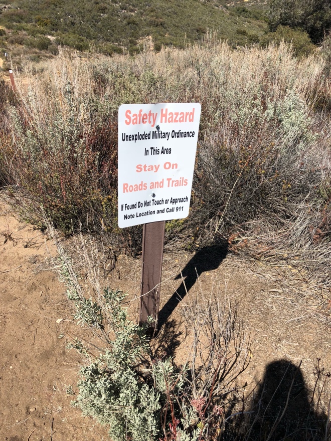
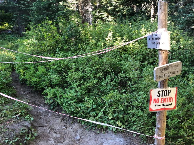
(It’s a sign. Really. Two signs.)

($17.41)


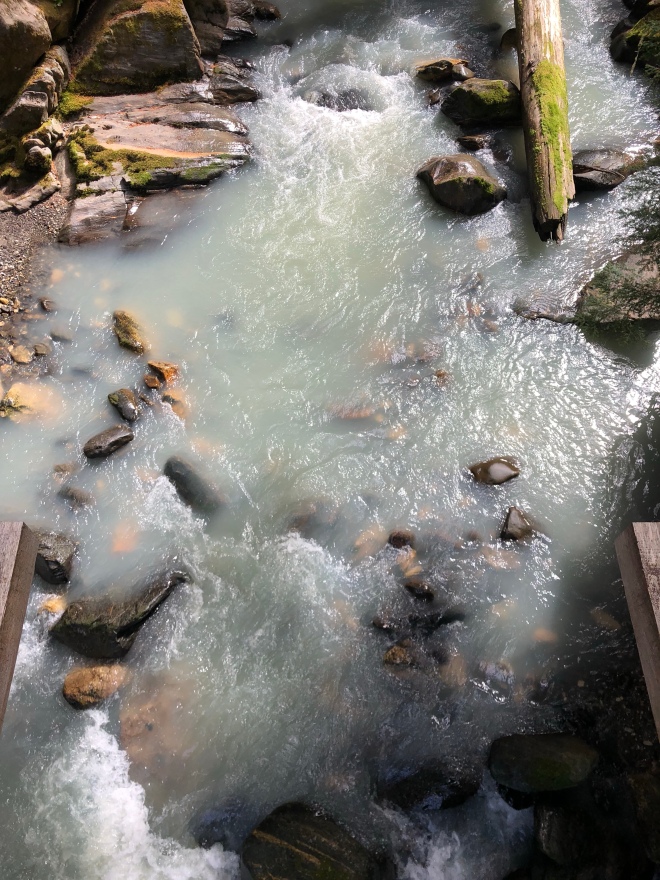


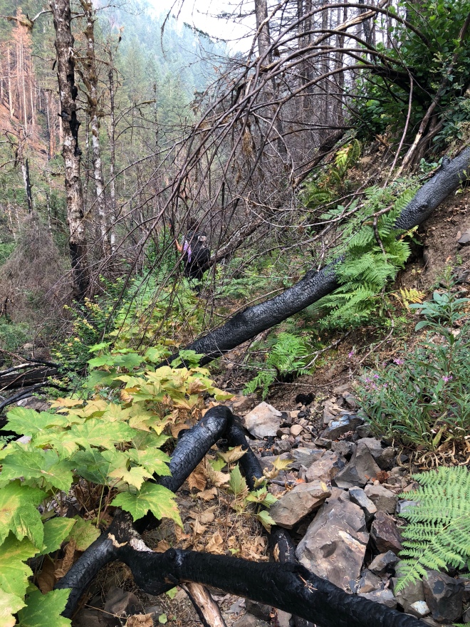


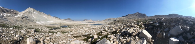
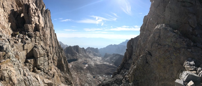
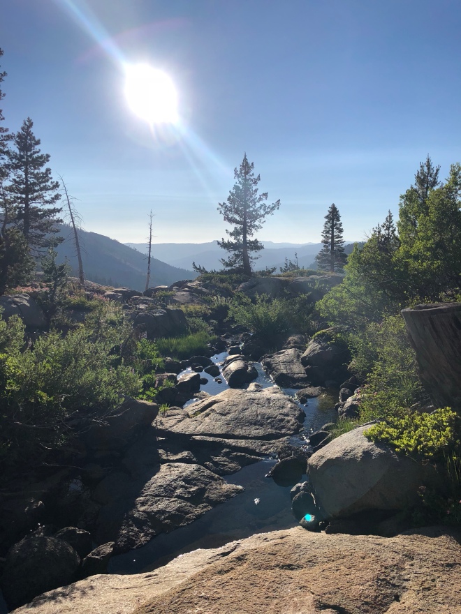
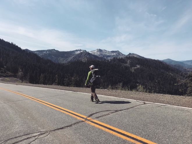
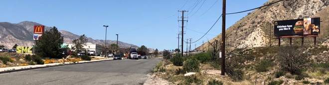
 Eventually we make it out of this gnarly trail and come to this: